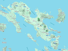
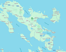
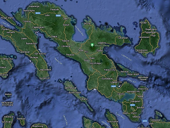
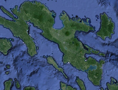
What is forestry spatial datasets?
This section describes the different spatial datasets used in the mapping and monitoring of forestry plans and programs and how they should be reorted when being uploaded to the cloud or being sent to other DENR Offices.
Spatial Datasets (FSD)FSD refers to the datasets being managed by the forestry sector which can be in six (6) major categories/themes to
Forest Land Use and Allocation
Forest Monitoring and Protection
Reforestation and Forest Rehabilitation